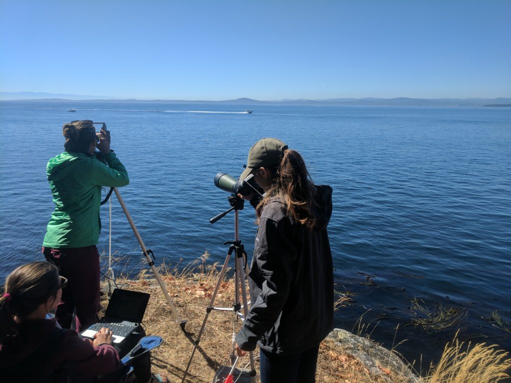
Not all whale studies take place on the water. With some patience (letting the whales come to you) and a special surveying tool called a theodolite, land-based surveys can provide a non-invasive way to study whale behavior that can be conducted by a relatively small field team. These characteristics made a land-based method optimal for our study of killer whale behavior during the ship slow-down trial this summer.
For our study, we are using a surveying tool called a theodolite. This instrument measures a horizontal angle relative to a fixed reference point and vertical angle derived by a gravity-referenced level vector. A computer connected to the theodolite can use those two angles (along with the precise location and elevation of the theodolite) to estimate distances and fixed positions of objects on the ocean’s surface (whales, ships, etc).
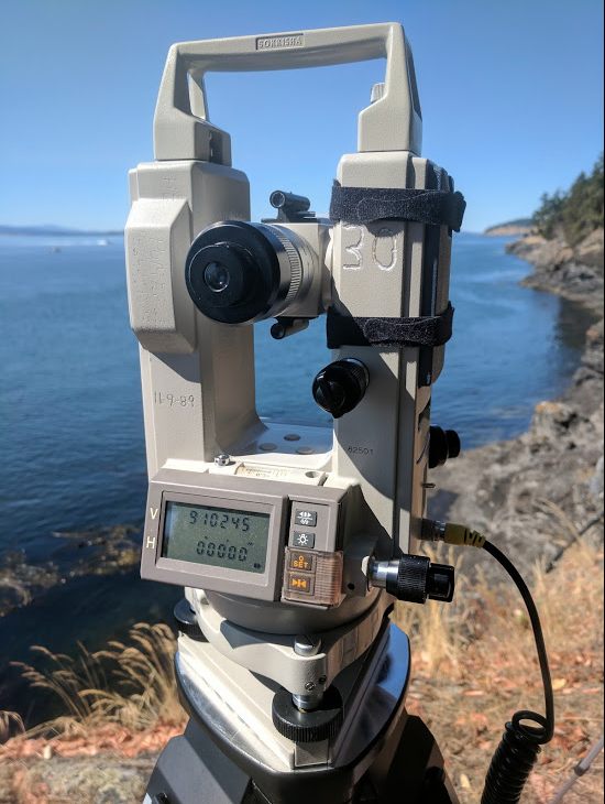
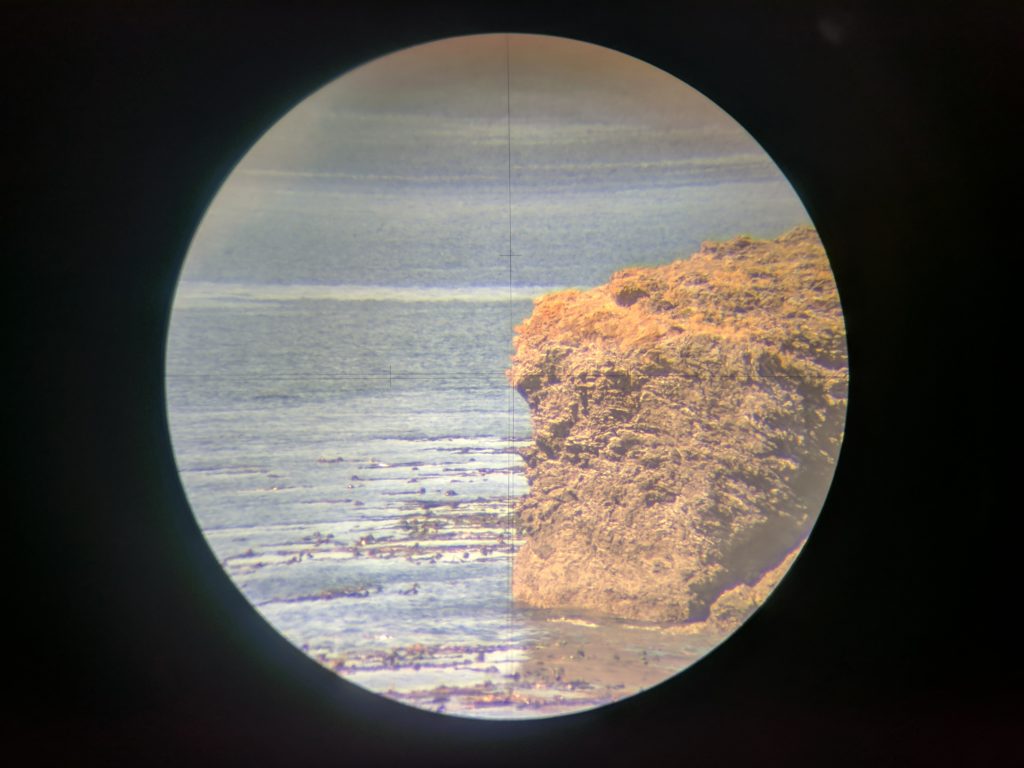
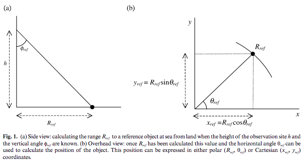
While that sounds complicated, it is really relatively simple geometry. By knowing our exact height on a cliffside and the horizontal and vertical angles to a whale out in the water, the computer can do some spherical trigonometry to determine where the whale is relative to us, otherwise known as a “fix.” That location can tell us how far away the whale is from the theodolite. Because we know the exact location in latitude and longitude of the theodolite, we can also use each fix to determine the location of the whale on the ocean’s (curved!) surface.
We track a killer whale pod’s movement and behavior by continuously measuring the location where a focal whale surfaces. This takes at least two people: one to keep the cross-hairs of the theodolite aimed at the focal whale; another to take fixes and notes on the laptop. Ideally, a third person uses a spotting scope to keep track of the group, including the focal whale, the identity of other individuals, and the group’s behavioral state. This team effort creates not only a track of where the focal animal went through the survey area, but also a record of what the pod members were doing at a given time and location.
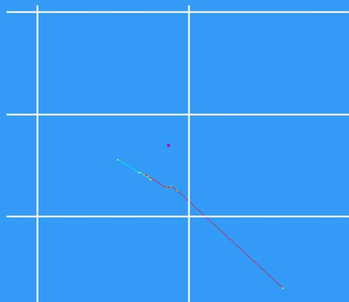
While these behavioral data are biologically interesting on their own, they are especially useful in our investigation of the relationship between voluntary vessel speed restrictions in Haro Strait and killer whale behavior (both surface behavior and acoustic behavior). While we are tracking the pod’s movement through the area, we are also quantifying the number of vessels in the area and tracking their movement and distribution relative to the whales using the theodolite. We make all these visual observations in areas where we are also measuring the underwater noise levels and logging the locations of ships transmitted via the Automatic Identification System (AIS).
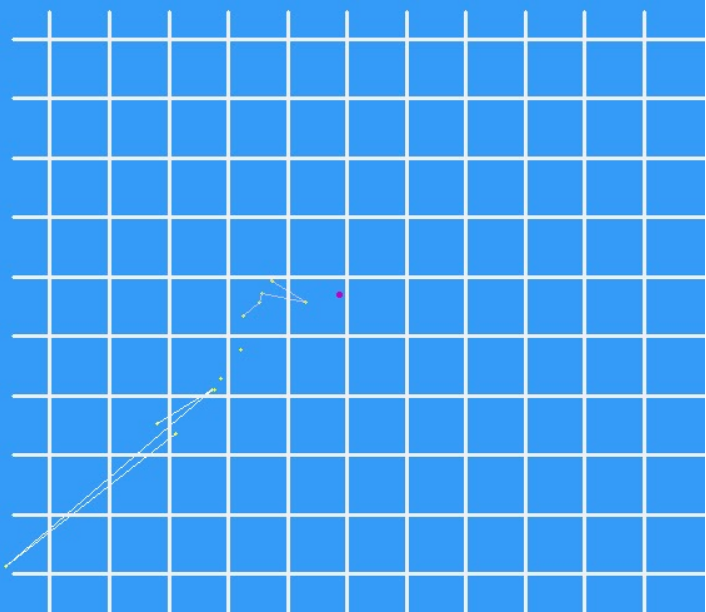
When executed effectively, this approach yields simultaneous records of where the whales were and their behavioral states, where the vessels were and how fast they were moving, and the underwater sounds that occurred in the study area. The difficulty is getting enough data to determine with statistical significance if any aspects of killer whale behavior change (or not) in response to any aspects of vessel operation, particularly the noise levels the whales receive from slow-moving versus fast-moving ships. Now that the residents are back, we’re hoping to collect enough data to draw that line between vessel speed, noise and whale behavior.
2 thoughts on “Theodolite tracks of ships and killer whales”